Leave a Message

Thank you for your message. We will be in touch with you shortly.

Understanding Kirkland Setbacks And Lot Coverage

December 4, 2025

Planning an addition or a full rebuild in Kirkland? The answer to what you can build often comes down to setbacks, lot coverage, height, and any overlays on your lot. It can feel complex, especially when the rules vary by zone and site conditions. In this guide, you’ll learn what setbacks and lot coverage mean in Kirkland, how critical areas and shoreline rules change the buildable area, what the permit path looks like, and a simple checklist to evaluate a property before you design or buy. Let’s dive in.

Setbacks and lot coverage basics

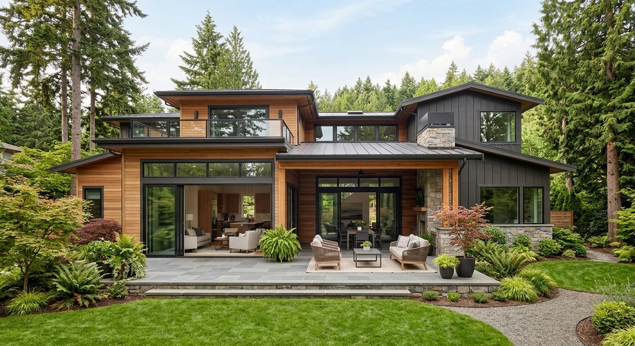
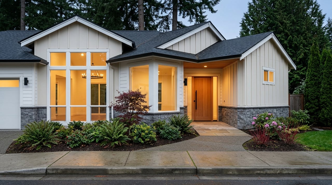
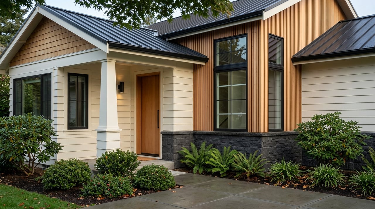
Setbacks are the required clear areas between your structure and the property lines on the front, sides, and rear. Lot coverage is the portion of your lot covered by structures, usually expressed as a percentage. Many zones also cap impervious surface, which includes driveways, patios, and other hard surfaces in addition to building footprints.

Kirkland’s zoning code sets these standards by district. The zoning table for your district lists baseline setbacks, maximum lot coverage, height, and related bulk rules. Always confirm your property’s exact zone and use the current code, since standards are updated from time to time.

Your zone sets the baseline

Every residential zone in Kirkland has a table that outlines the required front, side, and rear yard setbacks, maximum building or lot coverage, and maximum building height. These are your starting rules. Corner and through lots may have different side or street-side setbacks than interior lots.

Before you plan, identify your zoning district using the city’s zoning map or parcel lookup, then read the current zoning table for that district. If the property is outside city limits in unincorporated King County, use King County’s rules instead.

Overlays that shrink buildable area

Even if you meet the base zoning, overlays can increase effective setbacks and reduce your buildable area:

  • Critical areas: steep slopes, landslide hazards, wetlands, streams, and mapped buffers.
  • Shoreline: properties on Lake Washington or other shorelines follow the Shoreline Master Program, which adds use limits, setbacks, and permit layers.
  • Flood hazard: elevation and foundation requirements may influence footprint and design.
  • Historic districts or landmarks: may require design review for exterior changes.
  • Easements: utility or access easements often prohibit structures within their bounds.
  • Tree and vegetation standards: tree protection and replacement requirements can affect layout.

If critical areas or shoreline designations apply, expect larger buffers and more studies, which can change your addition from a first-floor expansion to a multi-story solution.

Measurement rules to know

How the city measures each standard will shape your design:

  • Setbacks are typically measured from the property line to the exterior wall or foundation. Eaves, steps, and porches may have special encroachment rules.
  • Building or lot coverage counts the horizontal area of structures. Covered porches, decks, and carports often count; low, uncovered decks sometimes do not. Check definitions.
  • Impervious surface includes roofs and most hardscapes. Some zones cap both coverage and impervious area.
  • Height is commonly measured from average existing grade to the highest point of the roof. Sloped lots can trigger special grade rules.

These details determine whether a bay, porch, or roofline fits. Small choices at the edges can make or break compliance.

ADUs and accessory buildings

Detached garages, sheds, and accessory dwelling units (ADUs) often have different setbacks and height limits than the main house. Detached ADUs may be allowed in some zones with specific placement and size rules. Whether an ADU counts toward lot coverage or floor area depends on the code definitions for your zone. Confirm these details before you assume a second unit will fit.

Can rules flex?

Kirkland provides limited paths for flexibility:

  • Administrative adjustments: Minor departures from setbacks or coverage may be approved if you meet objective criteria.
  • Variances: Larger relief typically requires showing hardship, public notice, and formal findings. This path carries more time and risk.
  • Critical-area tools: Buffer averaging or mitigation plans may be allowed with professional studies.
  • Shoreline permits: Projects near Lake Washington often need shoreline approvals in addition to city permits.

These options can help, but they add review steps and may extend the timeline.

Permits and realistic timelines

A pre-application meeting with city staff can identify your site-specific constraints and required studies before you invest in detailed plans. Common studies on constrained sites include boundary and topographic surveys, geotechnical reports for steep slopes, wetland or stream delineations, and stormwater plans.

Plan review times vary. Small interior remodels and modest additions tend to move faster. New homes, large additions, and projects with critical areas, shoreline permits, or variances take longer. Ask about current review times early and plan for contingencies.

Value and design strategy

Constraints drive design and value. Larger setbacks and buffers often push you to build up rather than out, which changes budgets and massing. If you are buying, the zone and overlays determine whether an ADU or future expansion is feasible. If you are selling, documented approvals, cleared conditions, or past permits can increase buyer confidence and support a stronger price.

Clear records also reduce risk during resale. Pull the property’s permit history, note any existing variances or shoreline approvals, and resolve open code issues before you list.

Feasibility checklist

Use this quick list to organize your approach:

  • Confirm the property’s zoning district on the city’s zoning map or parcel lookup.
  • Pull records for the lot: surveys, past permits, and any variances or shoreline approvals.
  • Order a current boundary and topographic survey if you plan to add or rebuild.
  • Check the current zoning table for required setbacks, lot coverage, impervious limits, and height.
  • Identify critical areas, shoreline, or floodplain overlays and the likely buffer widths.
  • Schedule a pre-application meeting with Planning and Building staff to vet your concept.
  • If steep slopes exist, get a geotechnical study early; if wetlands or streams are present, plan delineations.
  • Ask your architect or contractor about typical permit timelines for similar Kirkland projects.
  • Consider a local land-use planner or architect with Kirkland experience for smoother review.

Common Kirkland scenarios

  • Lakefront lots: Expect shoreline setbacks, critical-area requirements, and possible shoreline permits. Design and approvals typically take longer.
  • Steep slope lots: Buffers and stability controls can reduce buildable area and require engineered foundations and geotechnical work.
  • Corner lots: Street-side setbacks are often larger than interior sides, which can limit where you place additions or a detached garage.

When to bring in experts

Bring in the right team early to save time and budget:

  • City of Kirkland Planning and Building staff for code interpretation and pre-application review.
  • Licensed surveyors for boundary and topographic mapping.
  • Geotechnical engineers for slope and soils evaluations.
  • Architects and civil engineers with Kirkland residential experience.
  • Land-use attorneys or planners for variances, shoreline projects, or complex critical areas.

When you are ready to align feasibility with your purchase or sale strategy, connect for a focused plan that fits your goals.

Ready to talk through your property’s constraints and potential on the Eastside? Reach out to John Thompson for senior-level guidance and a clear plan forward.

FAQs

How to size an addition in Kirkland

  • Start with your zoning district’s table for setbacks, lot coverage, and height, then layer on critical-area or shoreline buffers that may further limit buildable area.

Do decks and porches count toward coverage

  • Often, covered porches and decks count toward building coverage, while some low, uncovered decks might not; check the code definitions for your zone.

Can I reduce a setback or increase coverage

  • Limited administrative adjustments may be possible; larger departures require a variance with evidence of hardship and a formal review process.

How long do Kirkland permits take for additions

  • Timelines vary widely; simple projects can be faster, while work involving critical areas, shoreline permits, or variances can take several months or more.

Do ADUs count against lot coverage in Kirkland

  • ADUs follow specific rules; whether the floor area or footprint counts toward coverage depends on your zone and code definitions, so confirm before you design.

Work With Us

Etiam non quam lacus suspendisse faucibus interdum. Orci ac auctor augue mauris augue neque. Bibendum at varius vel pharetra. Viverra orci sagittis eu volutpat.